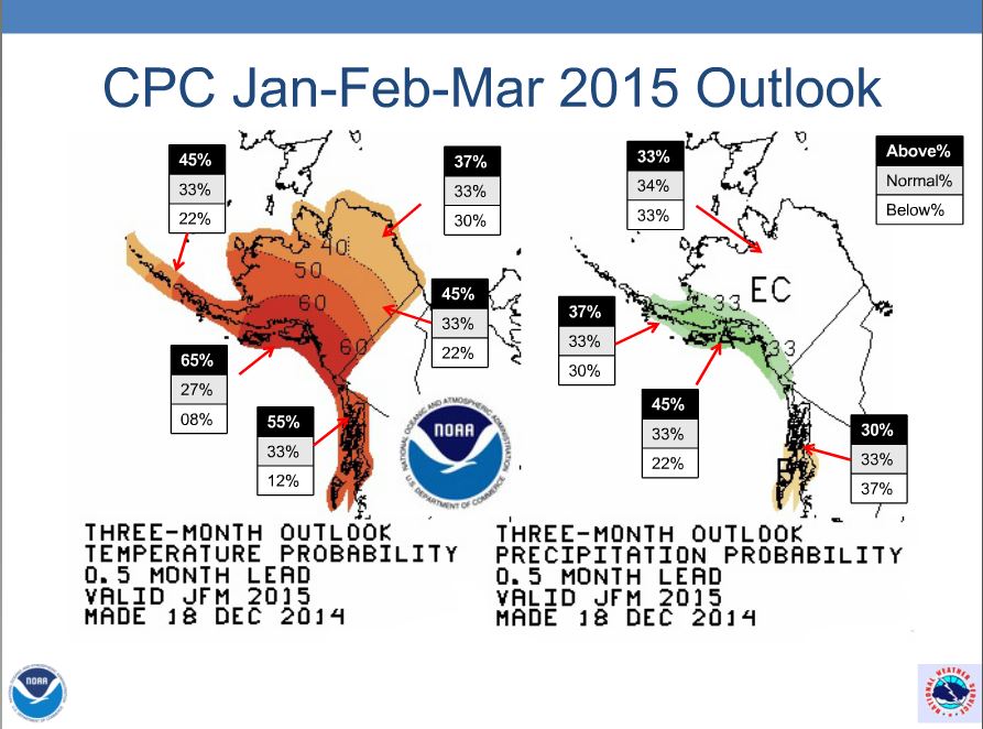
Late last year, Rick Thoman, NWS Climate Scientist in Fairbanks, predicted a warm winter for most of Alaska at his December 2014 NWS Webinar. That forecast worked out pretty well, with Dec-Jan-Feb temperatures well above normal for that period all over the state! So what does he say now about the upcoming spring and start of Alaska fire season? At a March 19 forecast briefing for fire managers, Rick pointed out benefits of the newer “dynamic” climate models which continuously update their algorithms with the latest weather observations. This kind of modeling requires major computing power so it’s only become

View Rick’s recorded monthly climate webinars posted on ACCAP’s website: https://accap.uaf.edu/?q=NWS_Briefings
possible in the last decade or so with availability of supercomputing centers. The collection of multi-model ensembles he showed universally point to a warm or VERY WARM April (goodbye snow pack!) and that seems to extend out to the April-May-June outlook as well, with pretty good confidence. One moderating influence in the forecast comes from mid-range precipitation outlooks from two independent forecast tools which call for above-normal precipitation, especially in the eastern Interior. The missing link that fire managers would like to be able to forecast is convection (lightning), but Rick says that may be coming as climate modelers gain experience with the new dynamic models. AICC Predictive Services has now posted their seasonal outlook for the 2015 Fire Season on the web, where you can learn about Modoki El Niño and what that may mean for fire season!