Alaskans know we must live with fire. A new open-access article in iScience synthesizes recent fuel break research from Alaska and Yukon, drawing on input from rural community representatives and scientists alike. The study presents a compelling case: fuel breaks designed with “co-benefits” can add ecological and socio-economic value while increasing social acceptance. The research highlights opportunities to move beyond traditional fuel break approaches toward more adaptive and ecologically informed designs. These innovations include tailoring fuel breaks to local vegetation, integrating them with natural landscape features, and aligning placement with suppression and community protection goals.
Citation:Link, NT; JF Johnstone, XJ Walker, F Amundsen, HK Berrios, L Bibeau, K Cooley, AC Erickson, C Johnston, JM Little, N Lowjewski, AD Perrin, CA Phillips, S Potter, DC Rees, LB Saperstein, JE Schmidt, EE Sousa, KV Spellman, A Spring, and MC Mack. 2025.Mitigating increasing wildfire risk through fuel break innovations.iScience. Open Access.
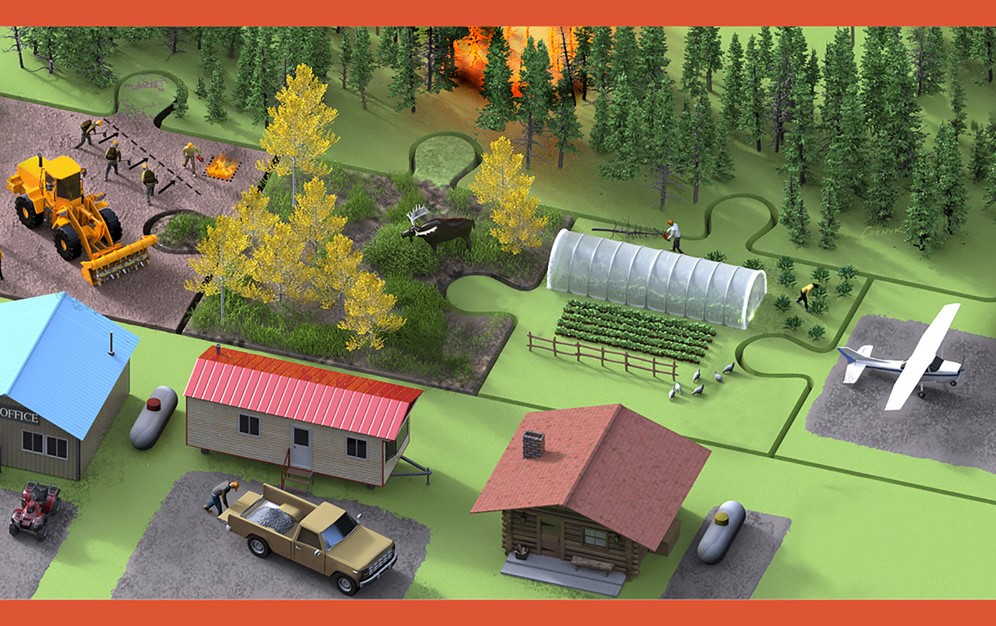
Image credit:Victor Leshyk, Center for Ecosystem Science and Society, Northern Arizona University
Wildfires are becoming larger and more severe as the climate shifts in the far north. Fuel breaks are a tool to proactively mitigate risk, but they are expensive, require maintenance, and come with side effects that are sometimes unwelcome to locals. Is there a better path forward?
TheFuel Breaks with Benefits project addresses this question, exploring benefits to communities and ecosystems that could make fuel break planning more effective and appealing. The project established a network of northern experts from many knowledge systems and sectors in Alaska, Yukon, British Columbia, and Northwest Territories to assess opportunities for developing fuel reduction treatments with sustainable social-ecological benefits in boreal forests. The authors emphasize that fuel breaks are not a standalone solution—they are most effective when combined with broader wildfire management strategies, including land-use planning, community preparedness, and fire-smart development practices.
As one significant boreal research project (the NASA Arctic Boreal Variability Experiment) winds down, another important research collaboration is winding up, thanks to hard work by a group of scientists in Bonanza Creek Long-Term Ecological Research unit (BNZ-LTER). Both projects have tackled important fire science and management issues in Alaska. Although BNZ-LTER grew from the Bonanza Creek Experimental Forest (beginning in the 1980’s) and Caribou-Poker Creek Watershed, it’s work now expands across Alaska and western Canada and includes collaborating researchers from many locations, but especially University of Alaska and Northern Arizona University. BNZ-LTER also welcomes broad collaboration from land and resource managers and community stakeholders.
Research at the BNZ-LTER has always had a strong wildfire component.Dr Michelle Mack leads the unit as their Principal Investigator, as well as heading Northern Arizona University’s (NAU) Plant and Ecosystem Ecology Research Lab. In May 2023, Dr. Mack and her team were awarded a renewed grant of $7.6 m from the National Science Foundation for support through 2029. The project, titled Changing Disturbances, Ecological Legacies, and the Future of the Alaskan Boreal Forest, has several subtopics, including a Wildfire Working Group led by Dr. Xanthe Walker (NAU). The wildfire group is studying direct and indirect effects of fire, such as seedling re-establishment, effect on soil microbes, overwintered fires and stream chemistry. They are also studying fire management activities like fuel breaks. One recent publication by Walker, Mack, Johnstone, and others is highlighted in our latestResearch Brief: When does fire change a spruce forest into hardwoods?The paper discusses what has been learned from the LTER’s extensive network of post-fire forest plots on drivers and thresholds of stand-type conversions—a hot topic for a number of management applications.
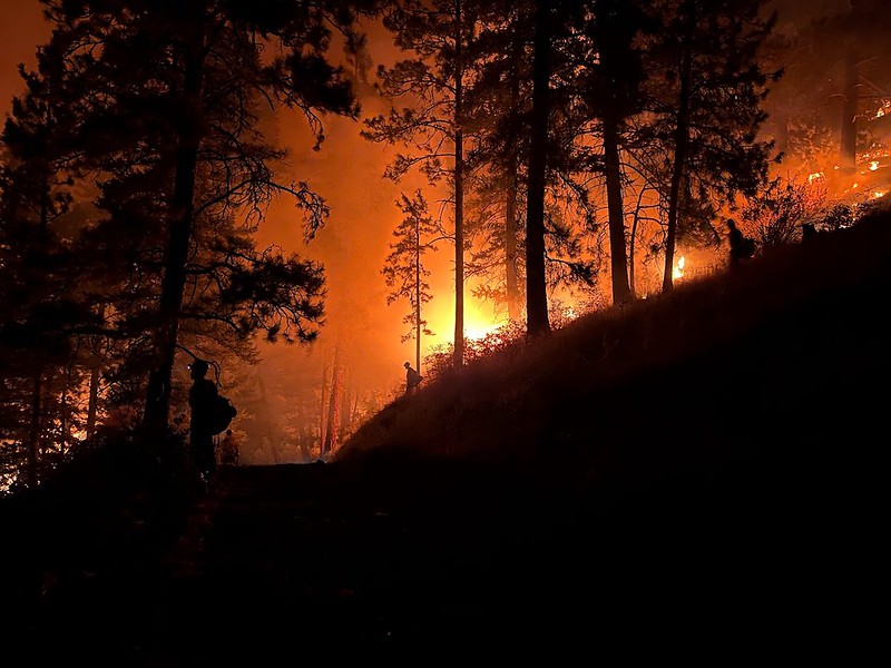
Photo credit: Midnight Sun IHC ( Night burnout operation in L48).
Fuel treatments like thinning and fuel breaks often help trees better survive wildfires in the western US but their biggest direct benefit lies with providing operational choices and opportunities to firefighting teams. Presentations at the 10th International Fire Ecology & Management Congress this past month in Monterey outlined research on whether treating vegetation fuels before a fire threatens are “worth it”. Alan Taylor’s team looked at fuel treatments in the 2021 Dixie fire which burned over 1,500 square miles in 5 northern California counties (suppression cost $637,000,000 but losses estimated at $1.5 billion). Research found that previous fire–within the past decade–reduced the fire severity by a third (based on tree death and damage). There were some exceptions, where recent burns with heavy grass/brush cover got “nuked” in the re-burn under the extreme heat and drought conditions that prevailed that year. The biggest variables correlated with increased fire severity were forest biomass (using NDVI as a proxy) and tree cover. Variables associated with decreased severity included maximum relative humidity and fire operations. The latter is interesting, since burnouts and backfires are a major part of strategies to combat gobbler fires like Dixie. Taylor, a fire ecology professor at Penn State, estimated that these tactics used by firefighters reduced the area which would have burned with high severity by about 22%. It should be noted that burnout operations in western US conifer forests are often conducted at night whereas in Alaska they are more often daytime operations.
Another research effort led by Lacey Hankins studied the effect of previous fuel treatments on outcomes of the 2022 Washburn Fire in Yosemite National Park. They used fire effects plot data and Lidar data but also interviewed fire operations staff to find out if previous roadside thinning or other forest management treatment shaped tactics. Yosemite’s fuel treatments, conducted since the 1970’s, reduced forest density and fuel load—especially ladder fuels. Operations personnel felt previous prescribed fires and strategically placed fuel treatments were key considerations in tactics and helped them protect the town and the giant sequoias in Mariposa Grove. Other presenters in the session described moderation of fire severity in shaded (thinned) treatments up to 20 years old in forests of the Sierra Nevadas, while in southern British Columbia, thinning treatments only worked to lower crowning and torching in the more aggressive treatments. Low intensity thinning (400-1,400 stems/ha) treatments did not reduce modeled fire intensity, nor did pruning (Rutherford, 2023).
—Cited Presentations—
Alan H. Taylor, et al. (2023) The contributions of past fires and fire management operations to severity patterns of the Dixie Fire, Presentation at 10th Intl Fire Congress, Monterey, CA, Dec. 5-7, 2023.
Lacey E. Hankin, et al. (2023) Linking forest management to operational outcomes of the Washburn Fire in Yosemite National Park, Presentation at 10th Intl Fire Congress, Monterey, CA, Dec. 5-7, 2023.
Kea Rutherford, et al. (2023) Are operational fuel treatments successfully mitigating wildfire risk in British Columbia, Canada? Presentation at 10th Intl Fire Congress, Monterey, CA, Dec. 5-7, 2023.
Historically, wildfire detection in Alaska relied on keeping an eye on neighborhoods and on lightning storms. Much of the detection around the state was done by aerial patrols beginning in 1973. In fact, in 1978 the BLM had 12 aircraft dedicated solely to fire detection and another six smokejumper aircraft which often did loaded patrols after widespread thunderstorm activity!
Alaska Department of Forestry T-28 Trojan on the ramp at Ft. Wainwright, 1988. (Photos by Linn Clawson). Below, pilot and observer were required to wear parachutes on missions in the WW2 vintage fighter-turned-detection aircraft
Then, at the turn of this century, it became apparent that the weather satellites MODIS Terra and Aqua could detect heat signatures of fire—fortunate timing because the price of contracted aircraft had skyrocketed and those surplus WW2 airplanes were mostly out of service.
Alaskan fire managers excitedly tested the use of spaceborne images to make wildfire detection faster and less expensive. Although these satellites are now nearing the end of their useful life (after 20 years in orbit), the VIIRS instruments aboard two newer satellites are starting to provide data.
Alaskan fire managers again are eager to make use of the new capacity, and are receiving help from key partners, inside and outside of Alaska. Several talks and posters at the 2020 American Geophysical Union (AGU) meeting held virtually in December highlighted important facets of ongoing efforts to harness the latest science and technology for use in Alaska.
The above figure (R. E. Wolfe, et al. FIRMS US/Canada – An Extension of NASA Near Real-Time FIRMS for the Forest Service and Inter-agency Wildfire Management Community—Fig. 1) diagrams the extensive network of agency and institution partnerships that have been established to gather and serve fire detection data to meet fire agencies needs around the country. With respect to the polar-orbiting satellites carrying some of these sensors, including VIIRS, Alaska find itself advantaged by twice as many daily satellite passes. Even more exciting, the Alaska Satellite Facility (ASF)—in the Geophysical Institute on the UAF campus– downloads the raw data directly, without waiting for processing and server functions in the lower 48. In the last couple years, ASF and GINA (Geographic Information Network of Alaska) have teamed up to feed VIIRS satellite detection hotspots directly to a digital map layer that can be accessed by fire managers less than one hour after the satellite passes. Compare the simplicity of the Alaska model with the above path for MODIS “rapid-response” data!
This kind of state-of-the-art service has taken a lot of logistical planning, hard work, and scrambles for funding both at the University of Alaska as well as the Alaska Interagency Coordination Center. The hard works pays dividends by giving fire management in Alaska a much needed boost against the background of longer, hotter fire seasons with flat suppression funding.
Not only has the satellite “hotspot” data proved useful for finding fires, it also is boosting our ability to monitor, model, and predict fire spread. A talk by Dr. Chris Waigl outlined how maximizing the use of three key remotely-sensed data streams: snow-off date to help start fire danger index models, improved wall-to-wall rasterized visuals of fuel drying by region, and improved regional algorithms to maximize the accuracy and sensitivity of satellite hotspot identification, were all used to good effect by Alaska fire management in 2020. Having the remotely sensed data to help with prioritization and decision-making was especially strategic during the COVID pandemic when managers were striving to spare staffing and reduce travel to rural villages.
Figure 3 Example of VIIRS fire heat points use in fire spread monitoring, P. Hickman.
The potential utility of remotely-sensed data for wildfire management has been recognized by scientists and agencies for some time, but it’s not always easy to bring a product from the laboratory to the operations room. There have been many discussions at various national levels and even a grassroots workshop in Fairbanks “Opportunities to Apply Remote Sensing in Boreal/Arctic Wildfire Management & Science”sponsored by NASA and facilitated by the Alaska Fire Science Consortium in 2017 addressing the potential application of remotely-sensed data. And although the story seemed very successful, given the above, it’s not over! Canada plans to launch the world’s first dedicated wildfire monitoring satellite constellation, WildFireSat, in 2025. And now we are thinking of ways to harness Artificial Intelligence for fire detection and spread monitoring! Stay tuned.
List of the AGU talks/posters referenced with links:
UNIversity FORmation Mission 1–microsatellite designed by Hokkaido University for wildfire management (photo: Koji Nakau)
Hokkaido University (HU) is one of the world leaders in developing new earth-observing space technology. Dr. Koji Nakau leads their wildfire remote sensing applications team. He’s working with various partners—including UAF—on new satellite-derived products delivered to wildland fire managers in Alaska and around the world. They are especially excited about the May 24th (2014) launch of a rocket carrying ALOS-2 (Advanced Land Observing Satellite) which is also carrying a couple microsatellites with sensors specifically designed by his team to detect wildfire signatures. In addition to improving real-time operational support, satellite data is analyzed in support of wildfire propagation modeling, smoke transport, fuels estimates, and post-fire ecology.
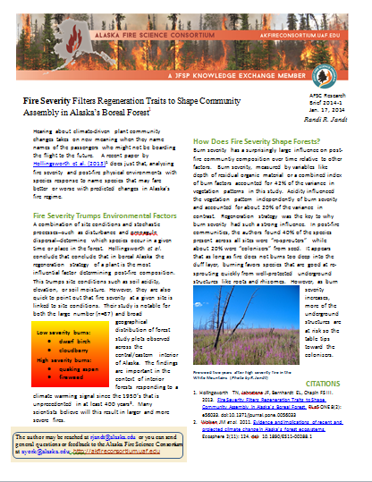
Fire Severity Filters Regeneration Traits to Shape Community Assembly in Alaska’s Boreal Forest: A recent paper by Hollingsworth et al. (2013) proposes that fire severity and a plant’s intrinsic regeneration strategy are key determinants in post-fire community recovery. The authors identify species that may fare better or worse with predicted changes in Alaska’s fire regime. Hollingsworth–who is based at the University of Alaska-Fairbanks–bases her findings on a large (n = 87) and geographically diverse set of post-fire plots in interior Alaska boreal forest.
If you weren’t able to hear this talk in person, watch the video posted on Alaska Fire Science Consortium website: Linked Disturbance Interactions in South-Central Alaska: Implications for Ecosystems and People.
For his MS Thesis, Winslow explored the social and ecological implications of changing boreal forest natural disturbance regimes. He analyzed how the occurrence of spruce bark beetle outbreak has altered the probability of subsequent wildfire activity between 2001 and 2009 on the Kenai Peninsula, Alaska as well as the economic impact of fire and insect disturbances to private property values. (By permission– Thanks Winslow!)