Tues, Feb 25, 10:00 am AK time. Register.
Link to recording <HERE>
Please join us for a very exciting chance to hear Matt Nolan of the UAF Water & Environmental Research Center, who will share results from his recent airborne DSLR photogrammetry campaigns throughout the Alaskan Arctic and the Fairbanks area. Advances in camera, GPS, and processing technologies over just the past few years have enabled Matt to put together a relatively inexpensive photogrammetry system that is easy, fast, accurate, and precise with no ground control. Compared to lidar, the low cost of DSLR photogrammetry means that it is now affordable to make time-series of high-resolution maps, and such time-series open up many new possibilities for analyzing and understanding changes in the environment, including topography, vegetation, and disturbance.
How could these new capabilities help fire managers and researchers?
See examples of Matt’s campaigns at http://www.drmattnolan.org/photography/2013/#
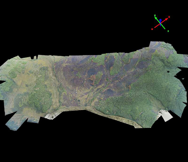
Image: Orthomosaic of Beaver Log Lakes fire scar near Lake Minchumina, 2013, courtesy Matt Nolan.