Why Alaska Fire Potential Assessments are Different

There are at least 5 important factors that lead Alaska fire managers to continue their use of the Canadian CFFDRS system of fire danger and fire behavior tools for fire potential assessments in Alaska.  Fire behavior expert Robert “Zeke” Ziel gives a succinct review of them in this illustrated 3-page report.  Essential reading for anyone involved in fire management here in the 49th state! Download it <<HERE>>

AFSC Fact Sheet

Why Alaska Fire Potential Assessments are Different, Robert Ziel, 2018

Findings from Alberta’s Ft.McMurray Fire

Fires on both sides of Ft. McMurray May 1, 2016

Alberta’s Cordy Tymstra discusses decisions facing fire managers during the 2016 Ft. McMurray fire.

Alaskans were paying close attention in 2016 when a spring firestorm called Horse River burned over a Fairbanks-sized Alberta town resulting in unprecedented evacuation of 90,000 people with insurable losses over $3.77 billion so far.  The disaster even had a negative impact on Canada’s National GDP–at 1.5 million acres it was the 3rd largest fire in Canada’s history. What have we learned from this catastrophic fire and can we co-exist with fire? Fire researcher Mike Flannigan, and Alberta’s fire science and prevention officer Cordy Tymstra teamed up on an important webinar for the AFSC last fall (watch it on our AFSC Vimeo Channel).   Mike gave us a lot of additional insights into fire ecology:  like the number of fires in Canada has doubled since the 1970’s, and spring fires are becoming increasingly important.  Cordy provided intimate “behind-the-scenes” looks into decision-making and the challenges faced by fire managers.  On May 5th, for example, the fire’s rate of spread was estimated at 2.86 km/hr (0.8 m/sec).  The pyrocumulus clouds that developed deposited firebrands up to 35 km ahead of the main fire.  Half of the discussion focused on recommendations from the after-action review:  for example, Alberta moved their official fire season start up to March 1.  They are going to review Incident Commander qualifications for WUI incidents and work on more ICS training for municipal cooperators.  And they are going to ramp up their provincial FireSmart program.  These are just a few.  Watch the presentation:  it will be an hour well-spent.

Alaska Fire and Environmental Datasets from ABoVE

Remotely-sensed data is a newcomer to the fire management scene.  A few years ago the only satellites we were aware of were MODIS weather and Iridium communications ones.  But things have changed!  Check out this graphic NASA Program leader Hank Margolis showed at the recent ABoVE science workshop in Seattle: Capture-HankM-ABoVE

And that’s just for Earth Science.  The point is, NASA’s ABoVE project now has about 5 years under it’s belt and has produced a wealth of new data and imagery that is available FREE for agencies and the public at their clearinghouse website–the Oak Ridge National Laboratory Distributed Active Archive Center (ORNL DAAC).  Yes, big acronym but this one’s worth learning about–it’s the designated one-stop shop for all the big data coming from the ABoVE work.  Some of these datasets could be really useful.  For example, LiDAR-measured elevation and canopy height measurements flown over Alaska last summer, the last day of spring snow over Alaska from 2000-2016, 20 years of surface water extent and location(open water) for Alaska/Canada: 1991-2011,  daily wildfire progression (using MODIS) of fires across Alaska from 2001-2015, plus maps of active layer thickness, growing season lengths, tree cover canopy,  . . . .  Get the idea?  Visit one of the links and use the search function at DAAC for more.  The data being made available should make it much easier to produce resource maps for planning and spatial analysis, without having to hit resource agency budgets for acquisition.

Research uncovers new twists on fire behavior

Incident fire behavior analysts predicted the 2011 Las Conchas fire would calm down at night, but instead they witnessed a night-time blow-up between 10 p.m. and 3 a.m. where 35-ft high “rolling barrels of fire” advanced rapidly downhill, quadrupling the fire’s size.

pillar-of-fire.jpg

Article in July-Aug 2017 Popular Science by Kyle Dickman, sheds light on extreme fire behavior.

Rod Linn at the fire Los Alamos National Laboratory has been studying wildfires for 22 years, using computational models including weather and topography to explain unexpected behavior.  In a recent Popular Science article he sheds light on some very interesting scenarios that caught the analysts off guard, including how an inversion developing in the evening spilled out of the Valles Grande basin like an overflowing bathtub and spawned the 26 ft/sec downslope night winds that blew up the Las Conchas fire.  The article is very readable and sheds light on several other species of extreme fire behavior that will be of interest to anyone on the fireline.  Pick up the July/August Popular Science or read it for free online here:  https://www.popsci.com/las-conchas-wildfire-pillar-of-fire

P.S. Rod also published a series of articles for firefighters from the Los Alamos Lab and they are online.  Here’s the link to the first one:  Computer modeling helps us learn to live with wildfire.


Lightning Sparking More Boreal Forest Fires

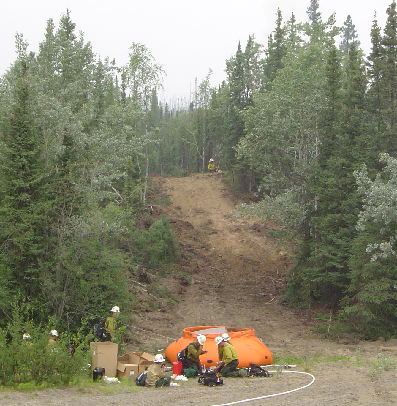
Our Research Brief this month covers a new NASA-funded study led by Sander Veraverbeke of Vrije Universiteit  in Amsterdam which found lightning storms to be a main driver of recent large fire seasons in Alaska and Canada.  Results of the study are published in the July, 2017 issue of Nature Climate Change.

nclimate_Cover_JUL17

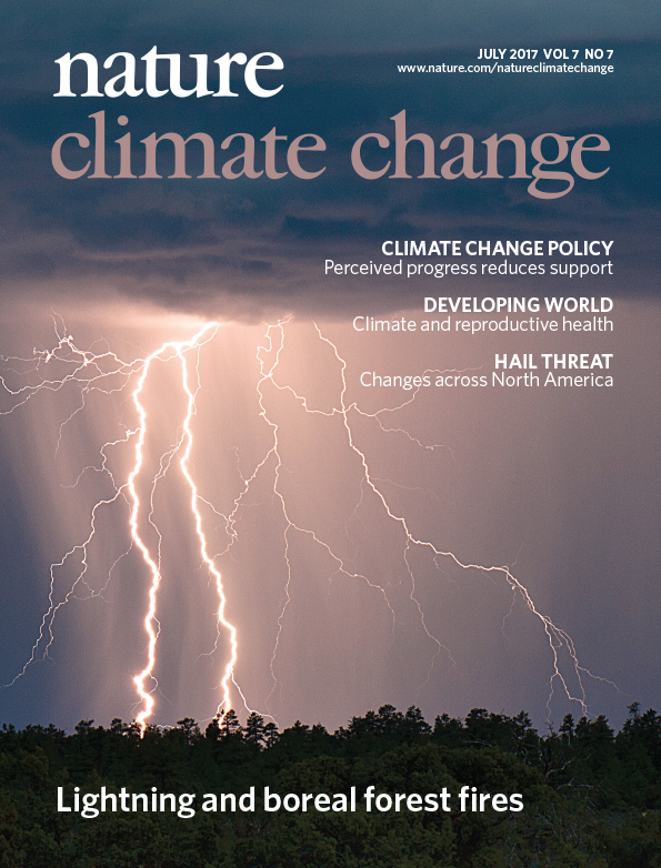
July 2017 Nature Climate Change

MODIS (Moderate-Resolution Imaging Spectroradiometer) satellite images and data from ground-based lightning networks were employed to study fire ignitions. Sander’s analysis found increases of between two and five percent a year in the number of lightning-ignited fires since 1975. Veraverbeke said that the observed trends are consistent with climate change, with higher temperatures linked to both more burning and more thunderstorms.

Study co-author Brendan Rogers at Woods Hole Research Center in Massachusetts says these trends are likely to continue. “We expect an increasing number of thunderstorms, and hence fires, across the high latitudes in the coming decades as a result of climate change.” This is confirmed in the study by different climate model outputs.

Charles Miller of NASA’s Jet Propulsion Laboratory in California, another co-author, said while data from Alaska’s agency lightning networks were critical to this study, it is challenging to use these data to verify trends because of continuing network upgrades. “A spaceborne sensor that provides lightning data that can be linked with fire dynamics would be a major step forward,” he said. Such a sensor exists already– NASA’s spaceborne Optical Transient Detector –but it’s geostationary orbit limits its utility for high latitudes.

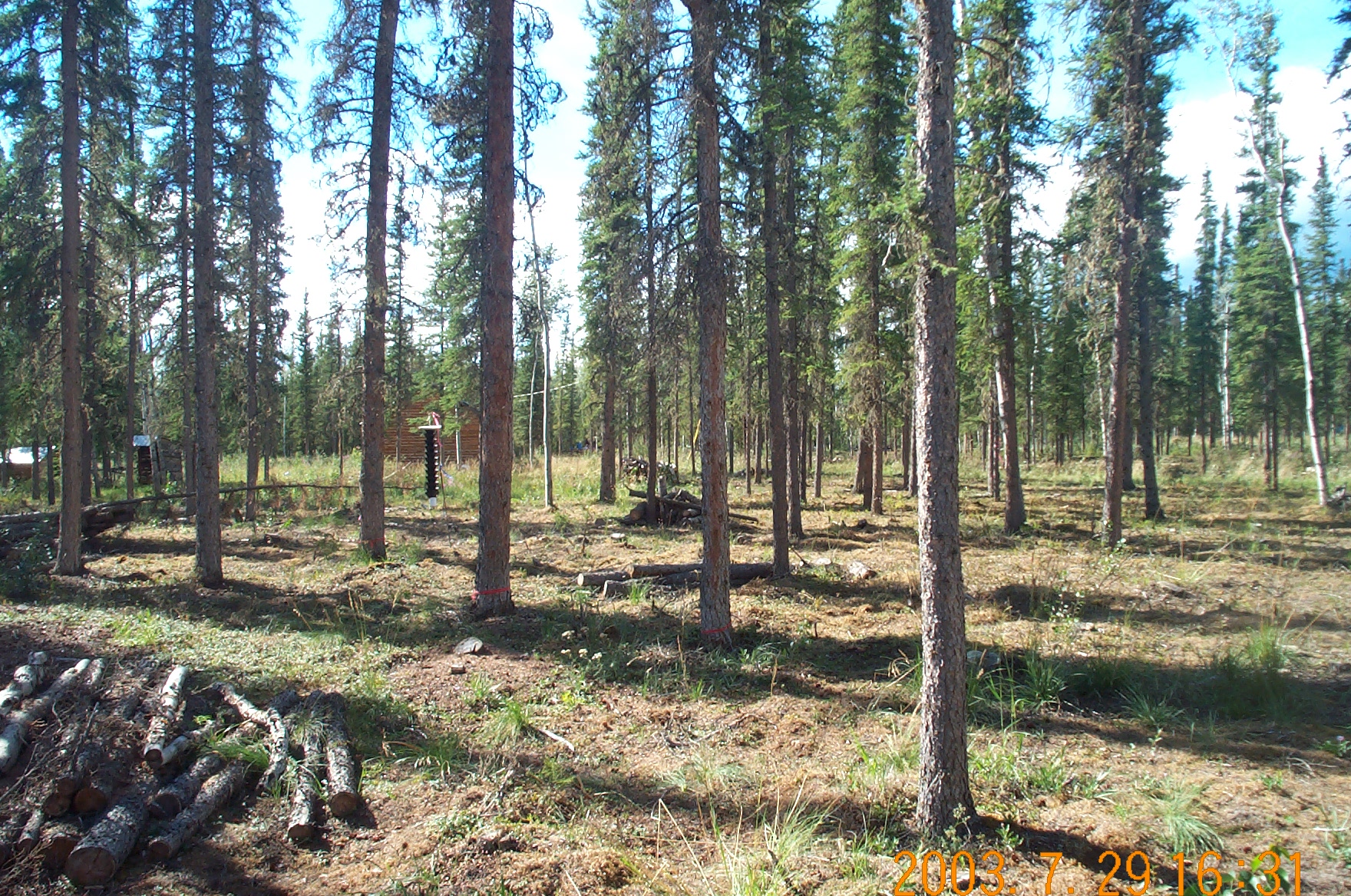
The researchers found that the fires are creeping farther north, near the transition from boreal forests to Arctic tundra. “In these high-latitude ecosystems, permafrost soils store large amounts of carbon that become vulnerable after fires pass through,” said co-author James Randerson of the University of California, Irvine. “Exposed mineral soils after tundra fires also provide favorable seedbeds for trees migrating north under a warmer climate.”

The Alaska Fire Science Consortium at the University of Alaska, Fairbanks, also participated in the study, and provides this 2-page Research Brief executive summary.

Citation: Veraverbeke, S., B.M. Rogers, M.L. Goulden, R.R. Jandt, C.E. Miller, E.B. Wiggins and J.T. Randerson. Lightning as a major driver of recent large fire years in North American boreal forests. Nature Climate Change 7: 529–534 (2017). DOI: 10.1038/nclimate3329

Future Fire Costs in Alaska

April Melvin of EPA’s National Climate Change Division has spent some time in the field in Alaska. In a just-released publication her research team takes a look at how firefighting costs in Alaska are likely to change through the next several decades.

pumpkin-2004-cylewold-pnw

“Pumpkin” water bladder preparing burnout on the Chicken fire 2004. Photo by Cyle Wold, USFS-PNW.

They use the ALFRESCO  model developed at UAF, which simulates fire ignition and spread (annual timesteps) under different climate projections in 100-km grid cells. Read their paper (citation below) for all the details, but in a nutshell they found:  1) it’s hard to nail down precise fire cost records in the multi-jurisdictional setting!  2) Fire costs go up in the future and the biggest expenditures will be in the Full fire protection option.   3) by 2030, predicted federal fire suppression costs (not including base–support and pre-suppression) will average $27-47M annually under the RCP 4.5 (moderate emissions) climate projection. That compares to about $31M on average from 2002-2013.  Adding in state costs boosts this to about $116M total firefighting cost for Alaska assuming the state costs are still roughly 68% of the total cost.  Again this does not include base operating costs.  The paper provides some good analysis for fire protection agencies to take to the bank.  Or at least to the Legislature!

Citation: Melvin, A.M., Murray, J., Boehlert, B. et al. 2017. Estimating wildfire response costs in Alaska’s changing climate.   Climate Change:  p 1-13.  doi:10.1007/s10584-017-1923-2.