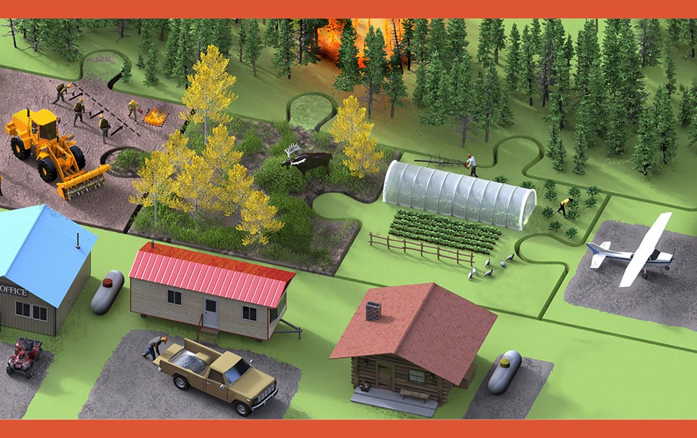
Alaskans know we must live with fire. A new open-access article in iScience synthesizes recent fuel break research from Alaska and Yukon, drawing on input from rural community representatives and scientists alike. The study presents a compelling case: fuel breaks designed with “co-benefits” can add ecological and socio-economic value while increasing social acceptance. The research highlights opportunities to move beyond traditional fuel break approaches toward more adaptive and ecologically informed designs. These innovations include tailoring fuel breaks to local vegetation, integrating them with natural landscape features, and aligning placement with suppression and community protection goals.
Citation: Link, NT; JF Johnstone, XJ Walker, F Amundsen, HK Berrios, L Bibeau, K Cooley, AC Erickson, C Johnston, JM Little, N Lowjewski, AD Perrin, CA Phillips, S Potter, DC Rees, LB Saperstein, JE Schmidt, EE Sousa, KV Spellman, A Spring, and MC Mack. 2025. Mitigating increasing wildfire risk through fuel break innovations. iScience. Open Access.
Image credit: Victor Leshyk, Center for Ecosystem Science and Society, Northern Arizona University
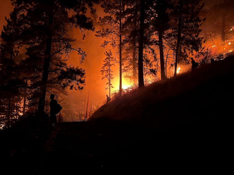
Wildfires are becoming larger and more severe as the climate shifts in the far north. Fuel breaks are a tool to proactively mitigate risk, but they are expensive, require maintenance, and come with side effects that are sometimes unwelcome to locals. Is there a better path forward?
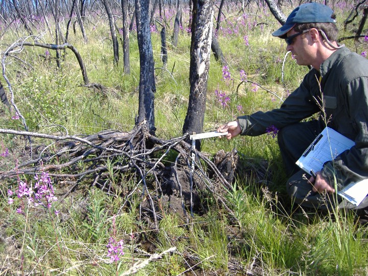
The Fuel Breaks with Benefits project addresses this question, exploring benefits to communities and ecosystems that could make fuel break planning more effective and appealing. The project established a network of northern experts from many knowledge systems and sectors in Alaska, Yukon, British Columbia, and Northwest Territories to assess opportunities for developing fuel reduction treatments with sustainable social-ecological benefits in boreal forests. The authors emphasize that fuel breaks are not a standalone solution—they are most effective when combined with broader wildfire management strategies, including land-use planning, community preparedness, and fire-smart development practices.