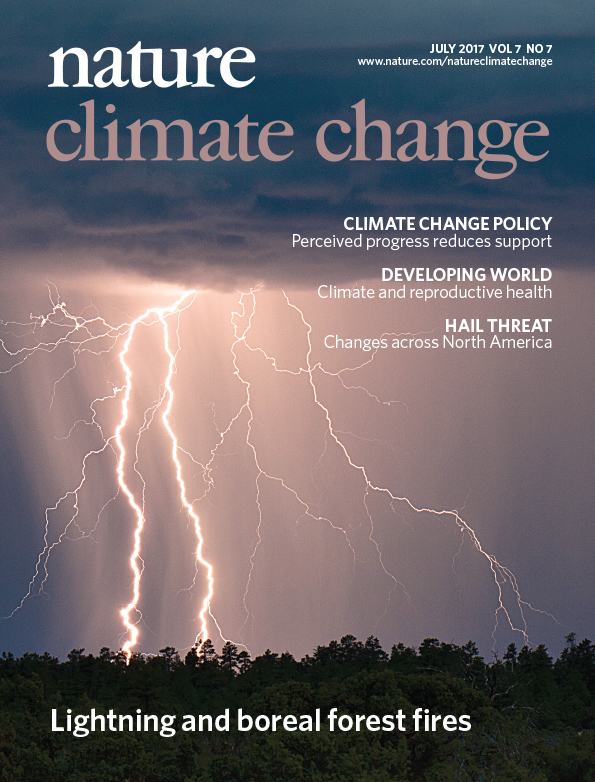
As discussed in the Feb. 7 Fire Science Highlight, burn severity in Alaska is best related to the amount of consumption of the forest floor—not the degree of tree canopy mortality as is in temperate pine and fir forest. Yet the most commonly applied metric to map burn severity using satellite remote sensing does not correlate well with substrate burn severity. The change in Normalized Burn Ratio (dNBR; Key and Benson 2003) is based on comparing a pre- and a post-fire image. However, NBR thresholds for severity differ from one fire to another and among different years: similar numbers don’t indicate the same severity levels (D. Chen et al. 2020). And with tundra fires, sometimes it works, other times not. This problem has dogged fire effects and ecology studies in Alaska for some time (see list of papers in Sean Parks November 2019 presentation) leading French et al. (2008) to conclude: “Satellite remote sensing of post-fire effects alone without proper field calibration should be avoided.”
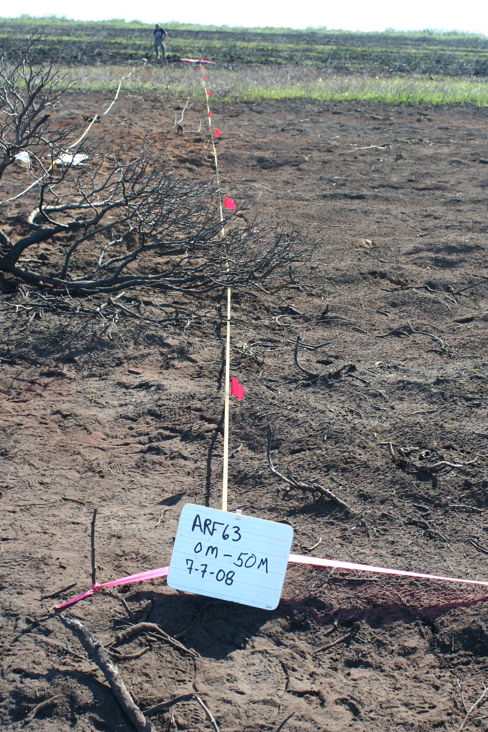
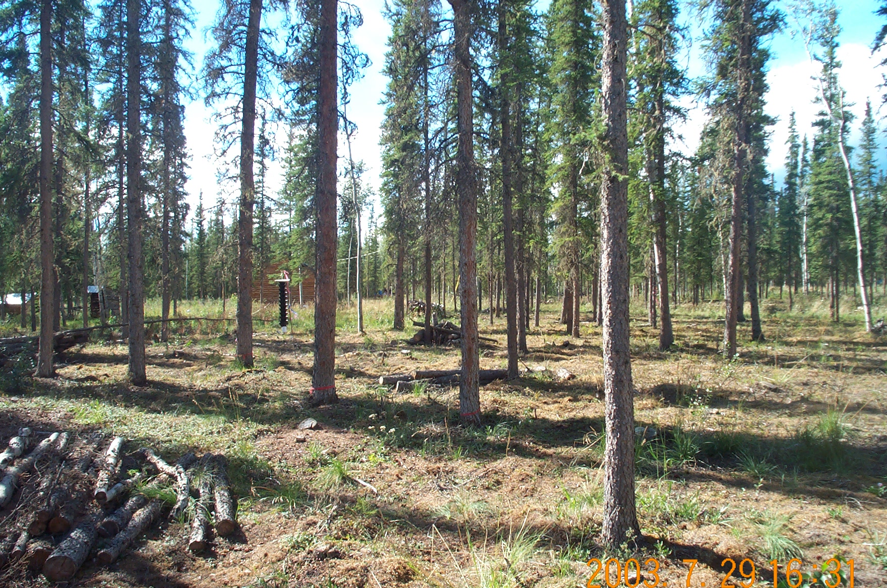
2008 Transect photo from Anaktuvuk River tundra fire (R. Jandt)
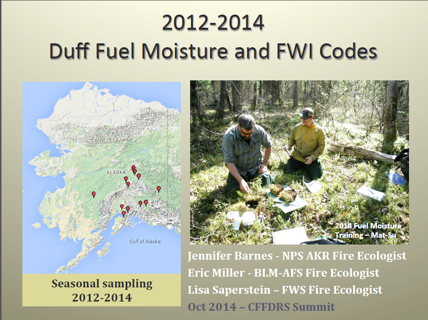
Recently, we’ve seen some promising new methods used to improve satellite remote sensing of burn severity in boreal forest. Whitman et al. compared several indices including a relativized index that facilitated comparisons between different fires in Canada. She told us about it at the Opportunities to Apply Remote Sensing in Boreal/Arctic Wildfire Management and Science Workshop in 2017—here’s her presentation if you missed it: Improving Remotely Sensed Multispectral Estimations of Burn Severity in Western Boreal Forests. Loboda et al. ( 2020) found single images using just NIR (near-infrared) bands of Landsat did better than NBR in discriminating tundra fire severity. Sean Parks is attempting to harness the power of Google Earth Engines and cloud-based computing to use multiple images to further define the ecological burn severity (Parks et al. 2019)—this work is kicking off at the University of Montana. He also found that unusual aspects of some fires in Alaska (pre-existing beetle kill, short fire return interval) contribute to poor performance of the standard index (see his recorded November, 2019, Association of Fire Ecology meeting presentation HERE). And Yaping Chen, from the University of Illinois, explored using indices based on Visible and NIR bands (which have a large archive of available imagery going back to the early 1970’s) to evaluate tundra fire severity. Her paper (Y. Chen et al. 2020) points to a VNIR index called GEMI as a “robust surrogate to NBR in Arctic tundra ecosystems, capable of accurately estimating fire severity across fire seasons, tundra fires, ecoregions, and vegetation types.” The fact that GEMI is not as influenced by different vegetation types as dNBR gives it a distinct advantage mapping tundra burn severity.
Being able to more accurately map burn severity levels from space would give ecologists a boost for understanding why fires sometimes induce radical changes in ecosystems while other times the system self-replaces in a very short span. For example, Yaping Chen used GEMI to reconstruct burn severity on older tundra fires like the 1977 example below and tie it to thermokarst effects (like catastrophic lake drainage or ponding) resulting from the fires (poster presented at AGU meeting December 2019). We look forward to more exciting products and tools coming from these research teams!
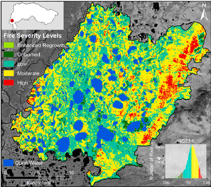
Reconstructed fire severity map of the 1977 OTZNNW 38 tundra fire computed with dGEMI using Landsat MSS imagery.
Citations:
Chen, Yaping; Lara, Mark J.; Hu, Feng Sheng. 2020. A robust visible near-infrared index for fire severity mapping in Arctic tundra ecosystems. ISPRS Journal of Photogrammetry and Remote Sensing 159:101-113.
Chen, Dong; Loboda, TV.; Hall, JV. 2020. A systematic evaluation of influence of image selection process on remote sensing-based burn severity indices in North American boreal forest and tundra ecosystems. ISPRS Journal of Photogrammetry and Remote Sensing 159:63-77.
French, NHF.; Kasischke, ES.; Hall, RJ.; Murphy, KA.; Verbyla, DL.; Hoy, EE.; Allen, JL. 2008. Using Landsat data to assess fire and burn severity in the North American boreal forest region: an overview and summary of results. International Journal of Wildland Fire 17(4): 443-462.
Key, Carl H.; Benson, NC. 2003. The normalized burn ratio (NBR): A Landsat TM radiometric measure of burn severity. US Geological Survey Northern Rocky Mountain Science Center.
Loboda, Tatiana V.; Hoy, EE.; Giglio, L; Kasischke, ES. 2011. Mapping burned area in Alaska using MODIS data: a data limitations-driven modification to the regional burned area algorithm. International Journal of Wildland Fire 20(4):487-496.
Parks, SA.; Holsinger, LM.; Koontz, MJ.; Collins, L; Whitman, E; Parisien, MA; Loehman, RA.; Barnes, JL.; Bourdon, JF; Boucher, J; Boucher, Y; Caprio, AC.; Collingwood, A; Hall, RJ.; Park, J; Saperstein, LB.; Smetanka, C; Smith, RJ.; Soverel, NO. 2019. Giving ecological meaning to satellite-derived fire severity metrics across North American forests. Remote Sensing 11(14):1735.
Whitman, E, MA Parisien, DK Thompson, RJ Hall, RS Skakun, and MD Flannigan. 2018. Variability and drivers of burn severity in the northwestern Canadian boreal forest. Ecosphere 9(2):e02128. 10.1002/ecs2.2128


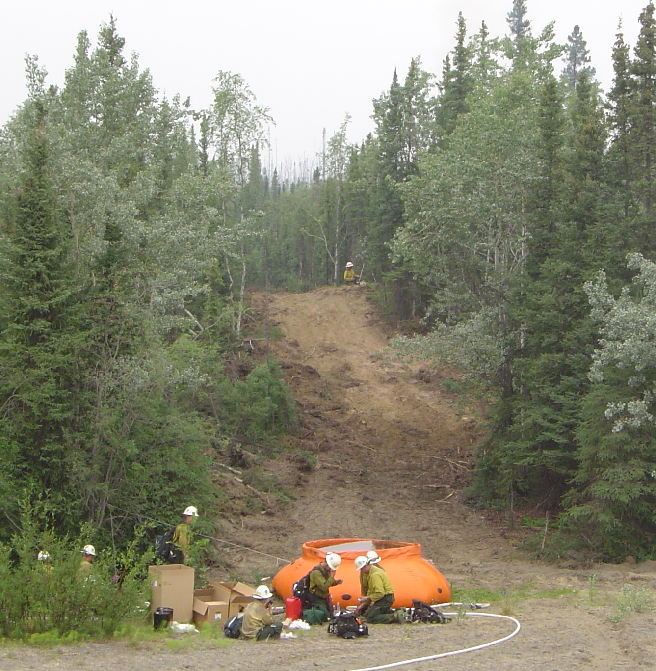
 fuel treatments by an interdisciplinary team of researchers is an important addition to regional management resources. In fact, it probably represents the FIRST published paper specifically on how fuel-reduction affects carbon and nutrient pools, permafrost thaw, and forest successional trajectories. The analysis included 19 sites managed by numerous Alaska agencies covering a large swath from Nenana to Deltana, and were sampled at various ages from 2-12 years post-thinning or shearblading. Our third